0410L-WEDNESDAY OUTLOOK FROM GARFIELD COUNTY EMERGENCY MANAGEMENT-4/28/21
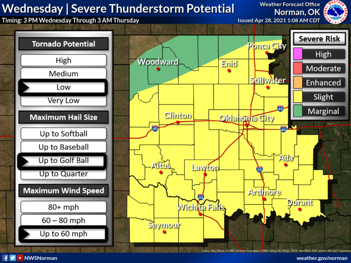
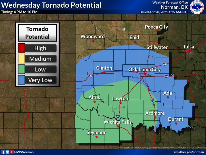
1-SLIGHT RISK for severe weather today and tonight. We lucked out last night and for today, we will deal with the cold front. With ongoing convection occurring in the southeast part of the state, it appears that is where most of the storms may occur again today. The cold front should make it into the area by noon or so shifting our winds from the south to the north. Winds will increase during the afternoon into the overnight hours becoming very strong by Thursday morning.
2- There are still questions concerning actual areas for thunderstorms outside of the southeast half of Oklahoma so we’ll just have to wait and see if the front has a large effect on us. I’ll update as better details should come in around mid-morning. Also, if you plan on traveling south today, flooding may become an issue so use extreme caution and stay weather aware.
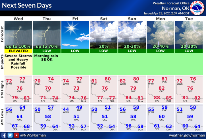
3- Here is your forecast from the NWS/NORMAN;
Today-Showers and thunderstorms in the morning, then showers and thunderstorms likely in the afternoon. Some thunderstorms may be severe late in the afternoon. Locally heavy rainfall possible. Highs in the upper 70s. Light and variable winds becoming north around 10 mph in the afternoon.
Tonight-Mostly cloudy. A chance of showers and thunderstorms in the evening, then a slight chance of rain showers after midnight. Some thunderstorms may be severe. Locally heavy rainfall possible in the evening. Lows in the mid-50s. North winds 10 to 15 mph. Chance of precipitation 50 percent.
4- GARFIELD COUNTY EM is our notification app. If you don’t have it, you are NOT prepared. Download it today as you never know, it just might save your life!
HAVE A GOOD DAY!!
MIKE