0415L-TUESDAY OUTLOOK FROM GARFIELD COUNTY EMERGENCY MANAGEMENT-8/11/2020
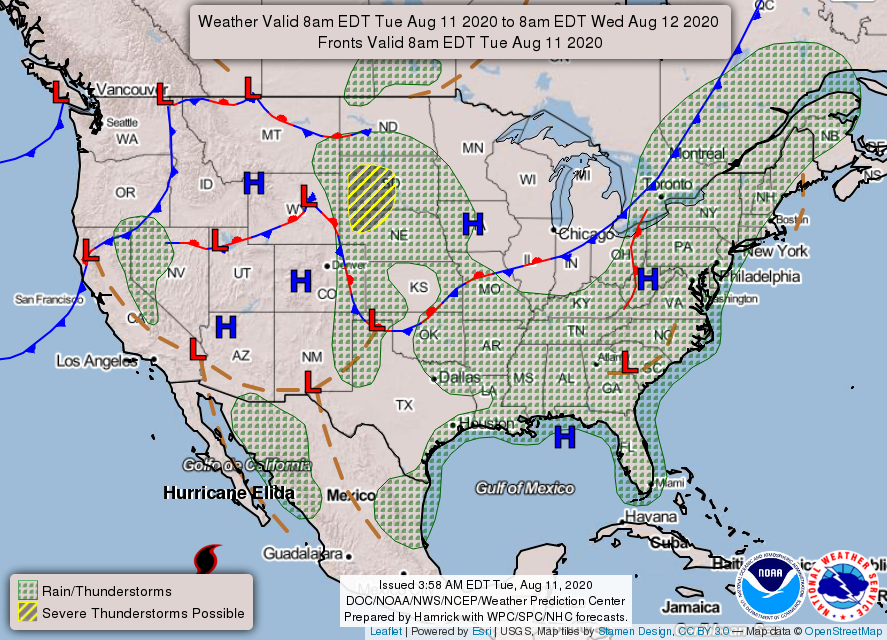
1-We are in a GENERAL RISK area for thunderstorms today and tonight. Chances are low but if we do see storms expect heavy rainfall, gusty winds, a lot of lightning, and maybe some hail. We’ll see how everything comes together later today. WE WILL BE OK!!
2- During the overnight hours we saw several thunderstorms roll through the area. The initial gust front that pushed in first gave us winds upwards of 41 mph. Lightning was impressive and it hit tank batteries in eastern Garfield County late last night starting a pretty good fire, based on radio traffic. No injuries that I am aware of. Also, I received an inch of rainfall at home. Let me know what you all received too. If anyone did sustain any damage, let me know on the damage report on our GARFIELD COUNTY EM app.
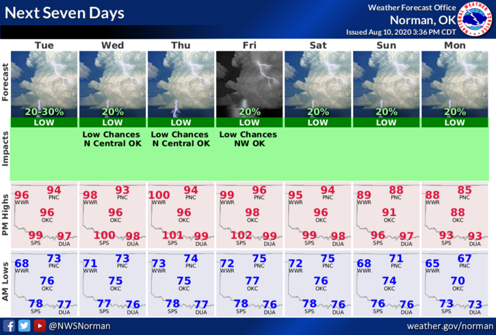
3- Here is your forecast from the NWS/NORMAN;
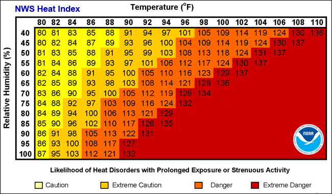
Tuesday- 30 percent chance of showers and thunderstorms mainly before 7am. Mostly sunny with a high near 95. Heat index values as high as 100. South southeast winds around 10 mph.
Tuesday Night-20 percent chance of showers and thunderstorms. Partly cloudy with a low around 72. South southeast winds around 10 mph.
HAVE A GOOD DAY!!
MIKE