0255L-TUESDAY OUTLOOK FROM GARFIELD COUNTY EMERGENCY MANAGEMENT-8/29/23
*Today’s post can be found under GCEM Blog on the GARFIELD COUNTY EM app. It can also be found on the front page of our website at https://gcem.org
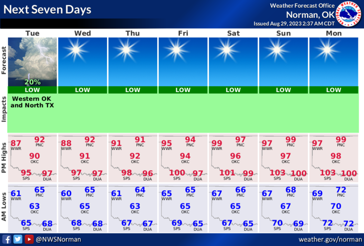
*Additional nice weather expected today and tomorrow as we gradually go up in temps. Right now current thinking is that we will become warmer but humidity and dew point temps will stay lower than the oven temps we experienced last week and the week before and so on. Winds will become a factor on Friday thru the weekend after switching to southerly with gusts increasing into the 20+ mph range.
*Because of the projected winds this weekend, the FIRE DANGER will increase some so use caution if doing any burning out there. Foliage is heat stressed right now and we do need some rainfall. If you do see smoke or fire, call 9-1-1.
Overall, we’ll be ok so here is your forecast from the NWS/NORMAN;
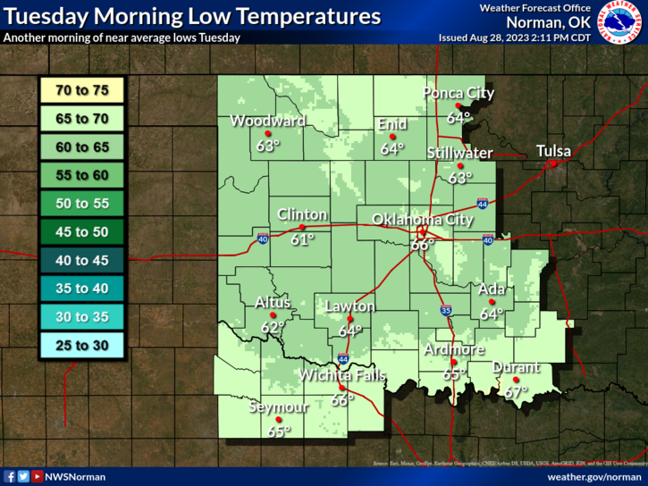
Today- Mostly sunny. Highs in the lower 90s. East winds around 5 mph, becoming northwest.
Tonight- Mostly clear. Lows in the mid-60s. North winds around 5 mph.
FINALLY, September is PREPAREDNESS MONTH so I will be posting some info on what steps you SHOULD take to get ready for winter, being prepared for severe weather, what to do in the event of a natural or man-made disaster.
HAVE A GOOD DAY!