0415L-TUESDAY OUTLOOK FROM GARFIELD COUNTY EMERGENCY MANAGEMENT-7/26/22
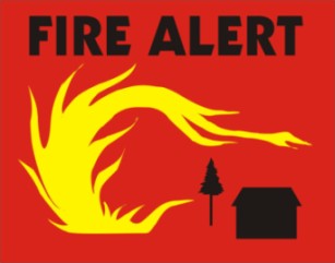
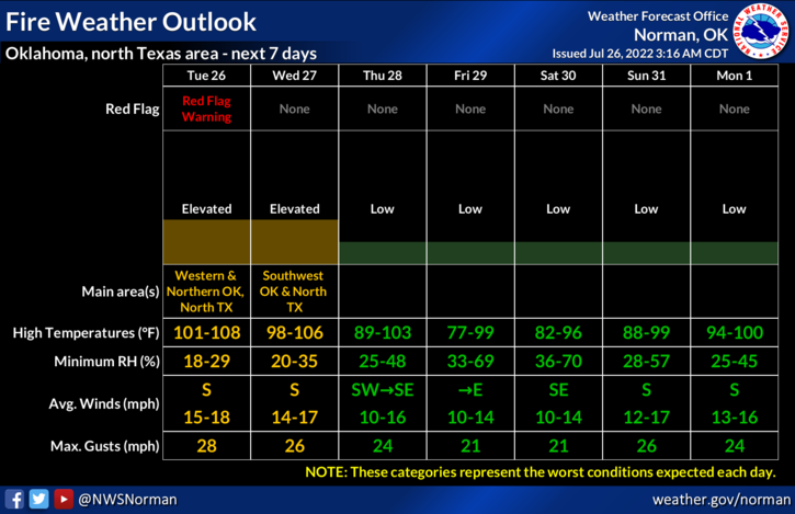
1-A RED FLAG WARNING IS IN EFFECT FROM NOON UNTIL 9PM
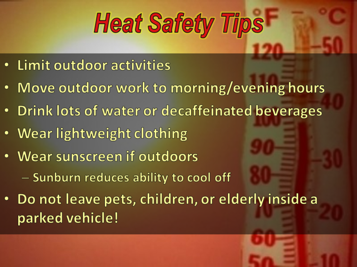
2-EXCESSIVE HEAT WARNING IN EFFECT FROM NOON UNTIL 9 PM.
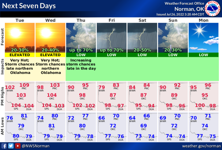
3-HERE IS YOUR FORECAST FROM THE NWS/NORMAN;
Today-Sunny, hot with highs around 107. Southwest winds 10 to 15 mph with gusts up to 25 mph.
Tonight-Mostly clear in the evening, then partly cloudy with a slight chance of showers and thunderstorms after midnight. Lows around 80. South winds 10 to 15 mph with gusts up to 25 mph. Chance of rain 20 percent. Heat index values up to 106 early in the evening.
4- As stated last night, our TASK FORCE TEAM 3 is in the Mooreland area. Our Team 1 consisting of Hillsdale-Carrier, Enid Fire, Waukomis, and Garber Fire will be deploying at 6am to relieve them. As I type, Hunter, Kremlin, Garber, and Breckinridge are fighting a grass/structure fire east of Hunter.
Today is going to be a dangerous fire day. If you see smoke or fire out there, call 911 immediately. Please don’t throw cigarette butts out of car windows and no controlled burning today at all for anything. If you see anything dragging and sparking from any vehicle, try to get their attention. ANY fire that gets started today will move very quickly.
I will keep you advised over the GARFIELD COUNTY EM app.