0420L-TUESDAY UPDATE FROM ENID/GARFIELD COUNTY EMERGENCY MANAGEMENT-6/12/18
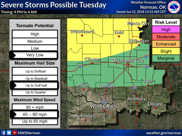
1- SLIGHT RISK FOR SEVERE THUNDERSTORMS ANYTIME BETWEEN 4PM TODAY AND 4 AM WEDNESDAY MORNING. RISKS-HAIL TO THE SIZE OF GOLF BALLS AND WINDS FROM 60-80MPH. THE TORNADO RISK IS VERY LOW BUT “NOT” OUT OF THE QUESTION BY ANY MEANS.
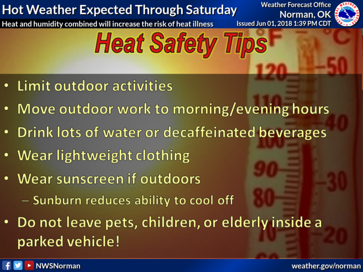
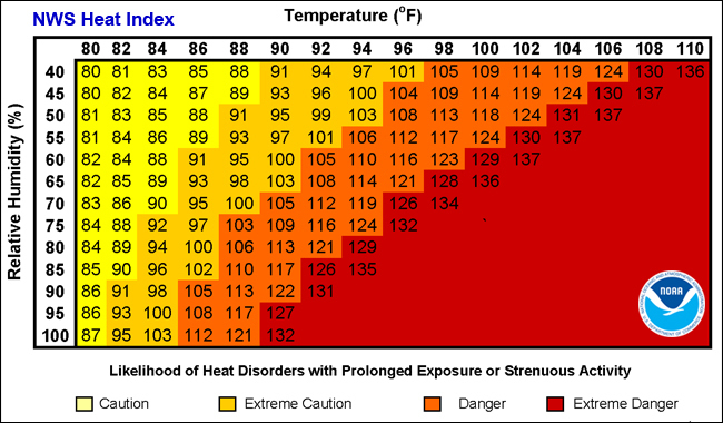
2-The HEAT will be the major issue today with highs in the mid 90’s and the heat index in the low 100’s. PACE yourselves while working outside in the heat.
3- Just be prepared for the possibility of storms later today and if you plan on traveling, check the forecast of your destination. Stay weather aware.
Finally, here is your forecast from the NWS/NORMAN;
Tuesday-30 percent chance of showers and thunderstorms mainly before 7am. Mostly sunny with a high near 94. Heat index values as high as 102. East southeast winds 5 to 10 mph.
Tuesday Night-40 percent chance of showers and thunderstorms. Mostly cloudy with a low around 72. Southeast winds 5 to 10 mph.
HAVE A GREAT DAY!!
MIKE