0420L-TUESDAY OUTLOOK FROM GARFIELD COUNTY EMERGENCY MANAGEMENT-3/12/19
1- HIGH WIND WATCH STILL IN EFFECT FROM 10 AM WEDNESDAY UNTIL THURSDAY AT 1 AM. SUSTAINED WINDS OF 30-40 MPH GUSTING TO 60 MPH ARE POSSIBLE.
2- Forecast discussions are not out yet at 0420L from Norman so this will be short and sweet.
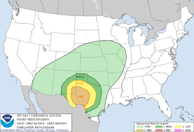
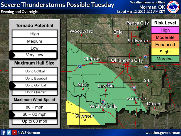
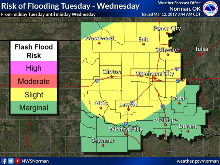
3- It will rain some today but the severe weather threat will be in southwest Oklahoma.
4-I will update later this morning and SEVERE alerts from the NWS will automatically come through our GARFIELD COUNTY EM app.
5- Here is your forecast for today;
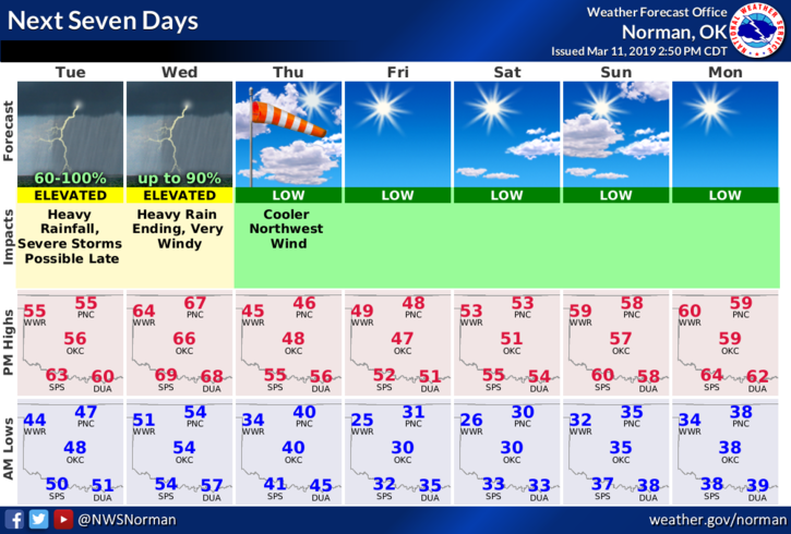
Tuesday- 80% chance for showers and possibly a thunderstorm during the day. A few may produce heavy rainfall with amounts near 1 inch. Highs near 55 with south-southeast winds 10-15 mph gusting to 25mph.
Tuesday Night- 100% chance for showers and thunderstorms. Some storms could produce heavy rains totaling around an inch. Temps will rise overnight to around 60 with south-southeast winds 15-25 mph gusting to 35 mph.
HAVE A GREAT DAY!!
MIKE