FROM GARFIELD COUNTY EMERGENCY MANAGEMENT
REMINDER!!! NWS SPOTTER CLASS TONIGHT AT 6:30 IN THE SHERIFF’S TRAINING ROOM AT 216 WEST OXFORD. THIS IS OPEN TO THE PUBLIC.
After summer hit yesterday, we will take a step back into spring with cooler temps for today. There may even be a cloud or two around. It will be a bit breezy so keep that in mind.
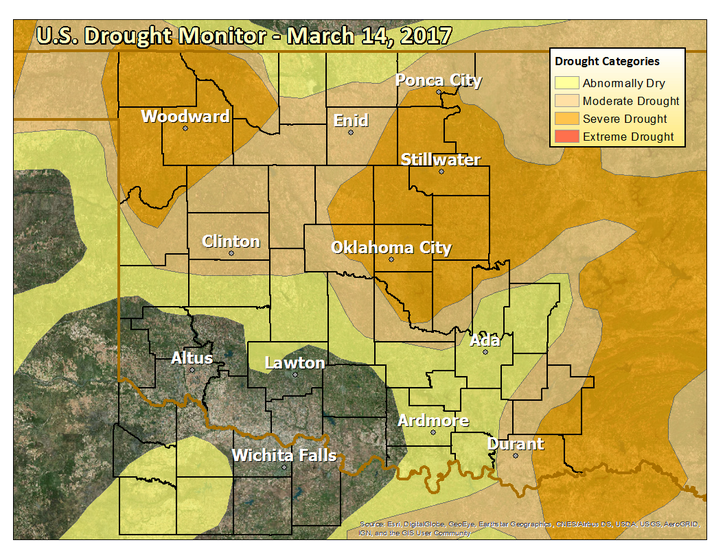
As you can see below, the Drought monitor graph hasn’t changed much the last several months and we don’t see much relief in the near future either. Yes, there is a chance for some rain but not enough to make much difference. What we should always remember is that we usually receive weather events in extremes meaning either no rain or a lot of rain etc.
It seems anymore that we have summer type weather for a few days and then we revert back to near normal weather conditions for a few days. Nature just hasn’t quite made up her mind yet.
Either way, we’ll deal with it and move on.
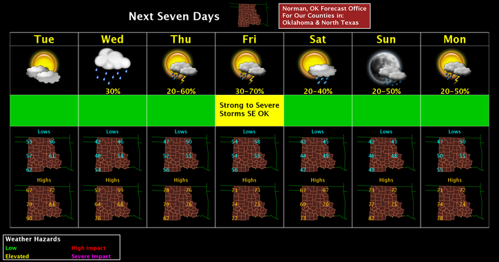
Here is your forecast from the NWS/NORMAN;
Today-Increasing clouds, with a high near 70. North northeast wind 7 to 17 mph, with gusts as high as 24 mph.
Tonight-20 percent chance of showers after 2am. Mostly cloudy, with a low around 45. Northeast wind 13 to 16 mph, with gusts as high as 23 mph.
HAVE A SUPER DAY!!
MIKE