0320L-TUESDAY OUTLOOK FROM GARFIELD COUNTY EMERGENCY MANAGEMENT-5/23/23
*This post also appears on the GARFIELD COUNTY EM app under GCEM BLOG*
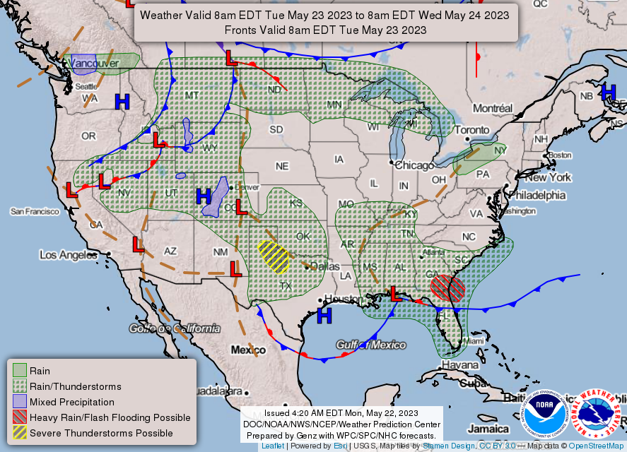
*We are in that GENERAL RISK AREA for thunderstorms again today and technically through this weekend. Anywhere from a 30 to 50% chance exists for thunderstorms. Better chances per guidance, even though guidance is a little sketchy, for actual severe weather appears to be this weekend when the upper low that is anchored out west, actually moves through the area.
*The above stated, it’s day by day right now whether we see rainfall. Each days situation will depend on what happens the evening before and overnight so we’ll deal with it and see what happens. Understand that we may see severe weather before this weekend if any strong storms actually make it here with winds and hail being the main threats. Guidance from the SPC, WICHITA WFO, AND NORMAN WFO are similar in the above so we’ll take this day by day.
* Overall, we’ll be ok so here is today’s county-wide forecast from the NWS/NORMAN;
Today-Mostly cloudy with scattered showers and thunderstorms. Highs in the mid-70s. East winds 5 to 10 mph. Chance of rain 50 percent.
Tonight-Mostly cloudy with a chance of showers and thunderstorms. Lows in the upper 50s. East winds 5 to 10 mph. Chance of rain 50 percent.
**Don’t forget to download our GARFIELD COUNTY EM app. You’re not prepared without it.
HAVE A GOOD DAY!!