0355L-WEDNESDAY OUTLOOK FROM ENID/GARFIELD COUNTY EMERGENCY MANAGEMENT-1/2/19
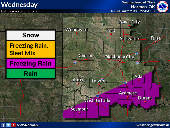
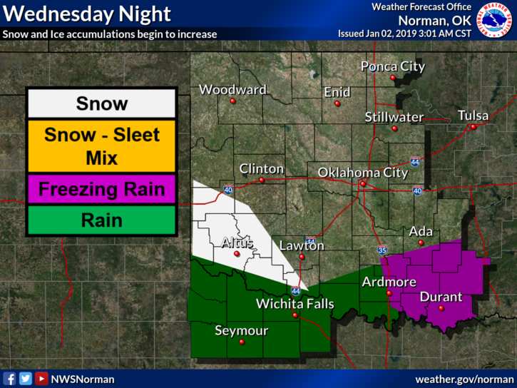
1- The storm system looks to track just south of the Red River. For the Garfield County area, we can expect our high temps during the days to be above freezing. Overnight temps will be below freezing so we have an outside chance for freezing precip if it even reaches our area.
2- For those traveling, pay very close attention to the forecast in the area you plan to travel to and be prepared for any inconvenience that may occur, especially if you travel south or southwest.
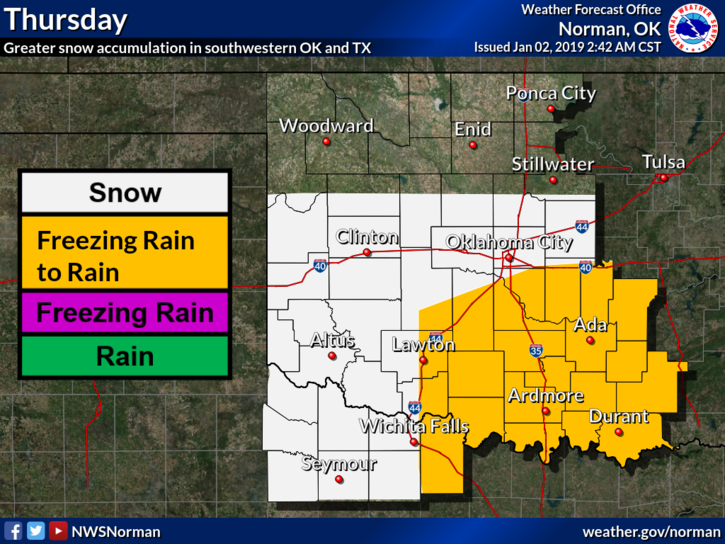
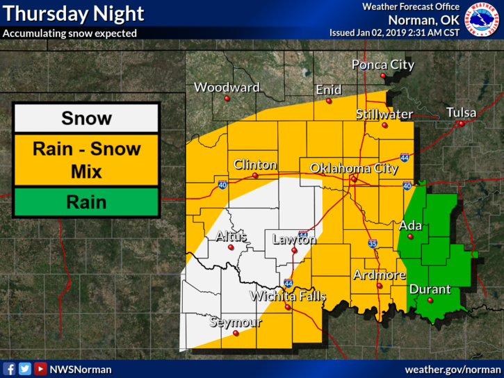
3- Our best chance to see any snow, as it appears now, could be Thursday evening as wrap around precip may occur as the system moves farther east. We’ll see what new changes occur as it moves towards the area that could cause this statement to be modified.
4- Another briefing will be held this morning and I will post info on that after it’s over.
5- Here is your forecast from the NWS/NORMAN;
Wednesday- Mostly sunny with a high near 35. West winds around 5 mph.
Wednesday Night-Mostly cloudy with a low around 23. Light and variable winds.
HAVE A SUPER DAY!!
MIKE