0405L-WEDNESDAY OUTLOOK & INFO FROM GARFIELD COUNTY EMERGENCY MGMT-6/10/2020
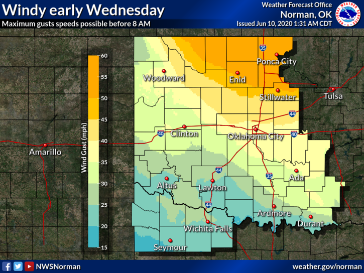
1- HIGH WIND WARNING was cancelled at 0340L and we are in a WIND ADVISORY until 0800L. West winds 25-35 mph with gusts to 45 mph are still possible. As of 0340L this morning we are still seeing gusts to 41 or so.
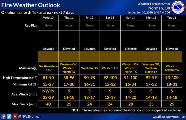
2- Winds will average 20-30 mph today with gusts around 35mph but will gradually decrease during the day. By 5 pm our winds should be around 5-15 mph and falling. Humidity will be low and bottom out in the upper teens or low 20s and dew points will average around 40 degrees. Today will be another fairly dusty and windy day and the FIRE DANGER is there so NO CONTROLLED BURNING today either PLEASE!!
3- As for the FIRE DANGER, call 911 if you see smoke or fire. I will say that from roughly 5pm until 1030 pm last night, IT WAS CRAZY. I want to say a huge THANK YOU to our 911 fire dispatchers as they were going crazier than we were trying to keep up with hundreds of calls. That’s what they do. Again, THANK YOU TO OUR DISPATCHERS!!
4- Here is your forecast from the NWS/NORMAN;
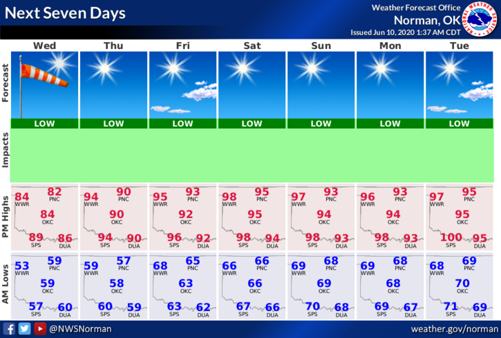
Today-Sunny, windy. Highs in the mid-80s. Northwest winds 25 to 30 mph with gusts to around 45 mph decreasing to 15 to 25 mph in the afternoon.
Tonight-Clear. Lows in the upper 50s. Northeast winds 10 to 15 mph in the evening becoming light and variable.
HAVE A GOOD DAY!!
MIKE