0400L-WEDNESDAY OUTLOOK & UPDATE FROM GARFIELD COUNTY EMERGENCY MANAGEMENT-10/30/19
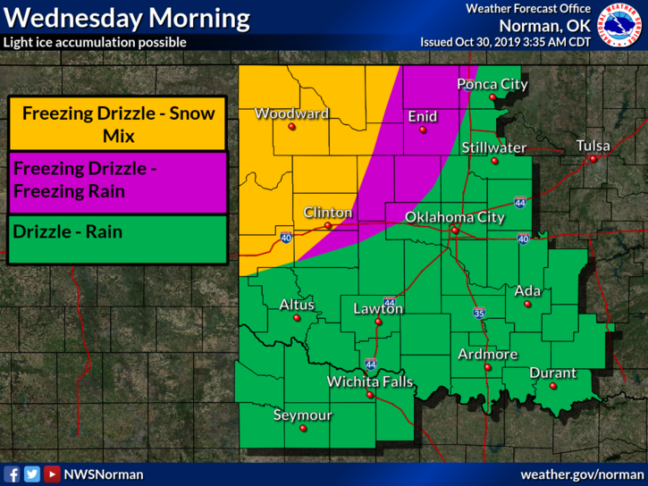
1- A Winter Weather Advisory is in effect just to our west and we could be included later. We’ll see what happens. At 0345L we are just above freezing at all reporting stations here in the county. Bridges and overpasses will most likely be slick as they can freeze at 35 degrees. BE CAREFUL while driving as temps can fluctuate between reporting stations and you could become acquainted with the ditch if you aren’t careful, especially those expert drivers!!
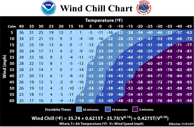
2- We do expect some periods of light freezing rain and light snow this afternoon. WIND CHILL will become an issue today so cover up, especially the kids. I reckon Mother Nature decided we didn’t need a FALL season this year. Oh well, I did warn you that you should keep coats and umbrellas handy. Hope you did!!
3-Overall, we’ll be ok but BE EXTREMELY CAREFUL WHILE DRIVING and WALKING.
4- Here is your forecast from the NWS/NORMAN;
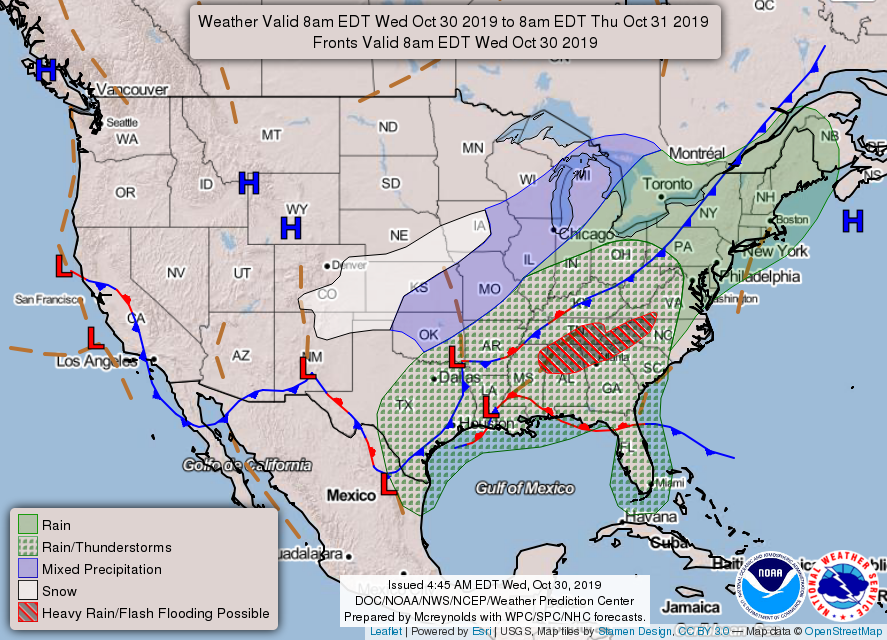
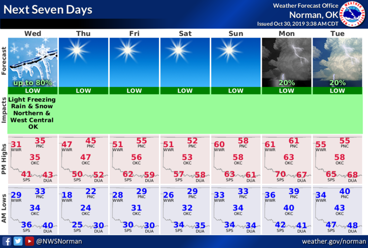
Wednesday-Rain before 10am, then a chance of freezing rain between 10am and 1pm, then a chance of snow and freezing drizzle after 1pm. High near 34. North wind 15 to 20 mph, with gusts as high as 28 mph. Chance of precipitation is 80%. Little or no ice accumulation expected. New snow accumulation of less than a half inch possible.
Wednesday Night-Cloudy during the early evening, then gradual clearing, with a low around 22. North wind 10 to 15 mph, with gusts as high as 25 mph.
HAVE A SUPER DAY AND STAY WARM.
MIKE